What We Offer
Summit ecologists have extensive experience assessing large development packages and pipelines for clients including one of Australia’s largest producer of coal seam gas (CSG), in addition to completing works for local and State Governments.
The Summit Ecology team is experienced and suitably qualified to conduct the following ecological services
Regional Ecosystem mapping under the Queensland regional ecosystem framework
Protected flora surveys in accordance with the Nature Conservation Act 1992 and Nature Conservation (Wildlife Management) Regulation 2006
Bio-Condition and Habitat Quality assessments
Weed surveys
Vegetation monitoring and mapping
Surveys and assessment of impacts on Threatened Ecological Communities (TEC) under the EPBC Biodiversity Assessment Method (BAM) under the Commonwealth Environment Protection and Biodiversity Conservation Act 1999 (EPBC).
Vegetation offsets assessments under state and commonwealth legislation
Waterway, wetland, lake and springs assessments
Fauna habitat and pre-clearance surveys
Fauna spotter catcher services
The Summit Ecological Team of specialists recommends integrated, practical and innovative ecological survey techniques, monitoring programs and impact assessment methodology in compliance with government regulations, community and environmental requirements. Our demonstrated experience undertaking terrestrial flora and fauna assessments, combined with a vast knowledge of regulatory requirements, and commitment to safety ensures project compliance in a cost effective and timely manner.
Global Information System Services
Summit has considerable Global Information Systems (GIS) capability to deliver all ecological and environmental projects, comprising ESRI ArcGIS software and the Summit Navigator, to acquire, compile, manipulate, interpret and visualise data.
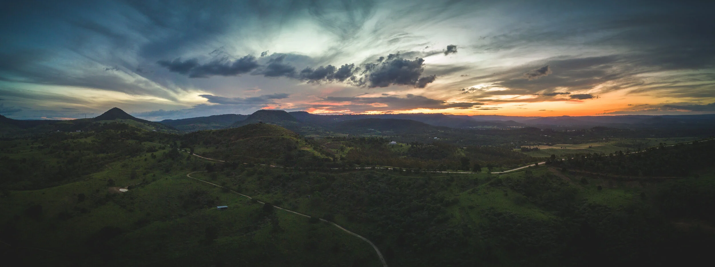
Summit’s Remotely Piloted Aircraft System (RPAS) are Civil Aviation Safety Authority (CASA) approved to provide efficient, safe and secure high-resolution aerial photography to assist in surveys, monitoring and analysis.


